
Cooperation with Scientific Organizations
ArmDiving realizes multiple projects by collaborating with Scientific Organizations (Sevan National Park, Ichthyology Institute, Geology Institute, etc) to provide needed data from the Lake Sevan bottom.
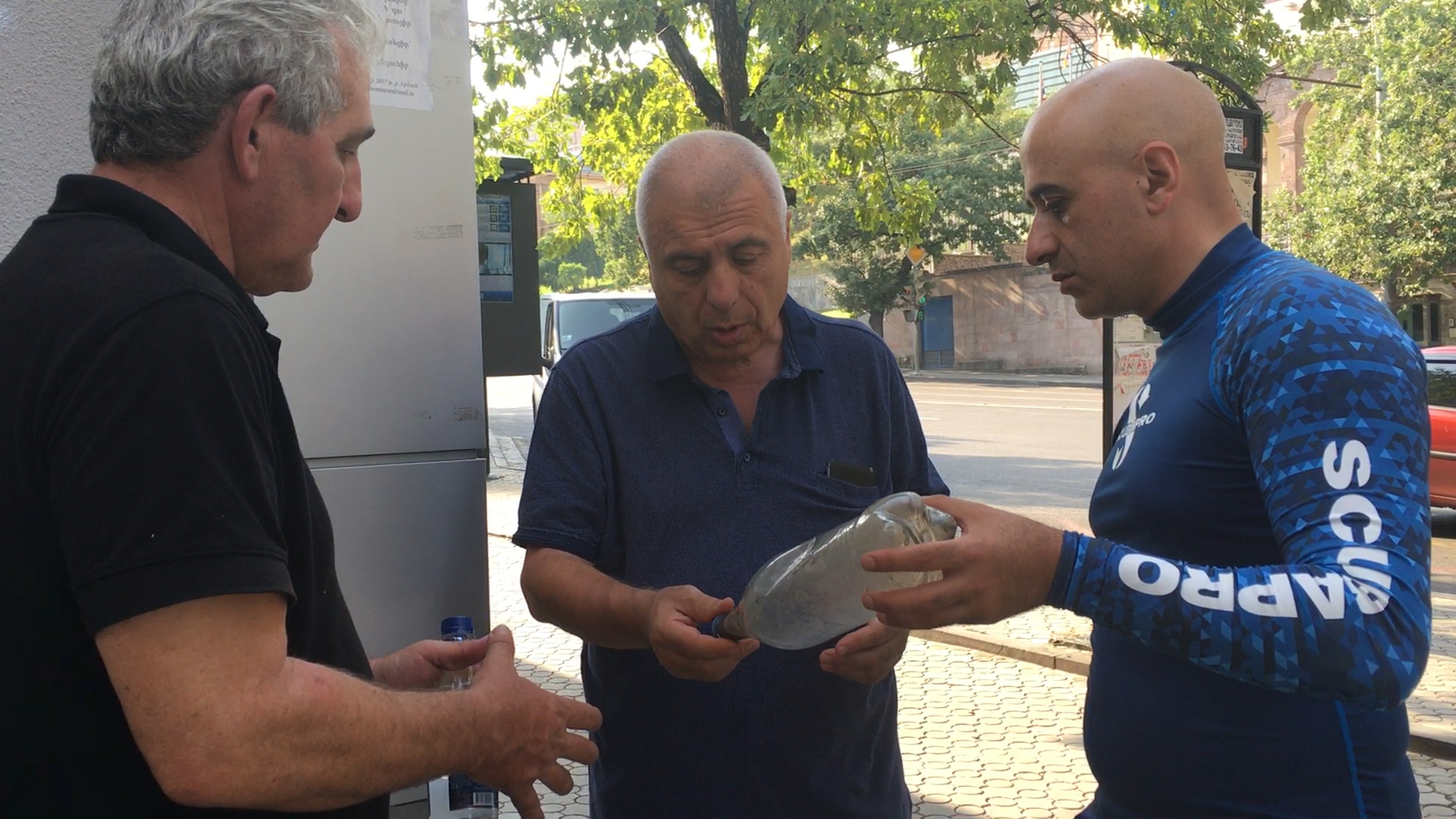 In the summer of 2017 the first collaboration started between ArmDiving and the “Georisk” Scientific Research Company. The first step was taking a sludge sample from a depth of 30 meters of Big Sevan by French and Armenian geologists, afterwards taking the profile near Artsvanist village with the help of “Sonar” device which was provided by the Geology Institute.
Since then, ArmDiving started the process of scanning the bottom of the Lake Sevan.
 During the months of July – September of 2017 we managed to fix 9 long profiles of the Sevan bottom near the Arevik, Zhayr, Artanish and other shores. The received results were provided to the Institute of Geological Sciences for geological researches.
Besides visualizing the 3D image of the lake bottom, the program intended to discover the possible anomalies.

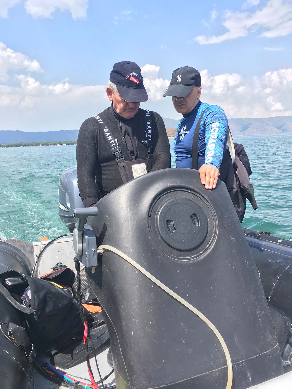
 In 2021, with the help of UNDP in Armenia and GEF Small Grants Programs, ArmDiving acquired special devices for discovering, removing and processing underwater lost nets. The scanner, being located on the water surface, visualizes all the bottom anomalies with 50 meters wide area.
This makes the work of discovering nets and garbage much easier. Right after discovering the items, the Epson ROV underwater drone is processed, which is controlled automatically from the surface. It reaches to the discovered items to explore it deeply.